One of the most important responsibilities of Conservation Authorities is to protect people and property from flooding. Information gathered from our system of streamflow gauges, snow courses and weather stations allows us to prepare water level and flow forecasts which are used to warn watershed residents of potential flooding.
See our Flood Resources for additional information from other reputable sites.
Current Advisories and Statements
May 22, 2025 – Flood Watch Terminated for Mattagami River
Flood Warning System Messages
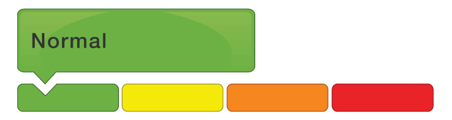
NORMAL – No flood conditions to report.
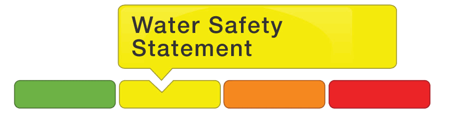
WATERSHED CONDITIONS STATEMENT – Water Safety
High flows, unsafe banks, melting ice or other factors that could be dangerous for recreational users such as anglers, canoeists, hikers, children, pets, etc. Flooding is not expected.
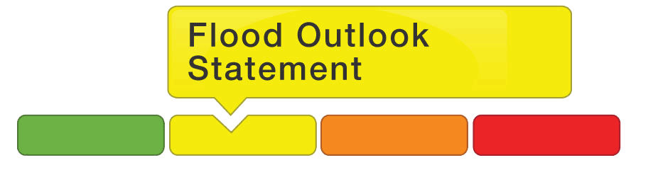
WATERSHED CONDITIONS STATEMENT – Flood Outlook
Early notice of the potential for flooding based on weather forecasts calling for heavy rain, snow melt, high wind or other conditions that could lead to high runoff, cause ice jams, lakeshore flooding or erosion.
FLOOD WATCH
Flooding is possible in specific watercourses or municipalities. Municipalities, emergency services and individual landowners in flood-prone areas should prepare.

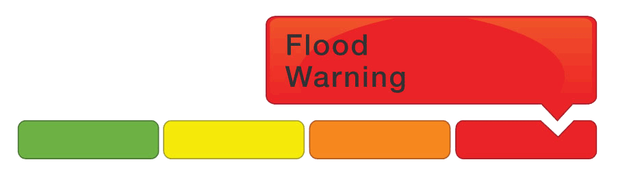
FLOOD WARNING
Flooding is imminent or already occurring in specific watercourses or municipalities.