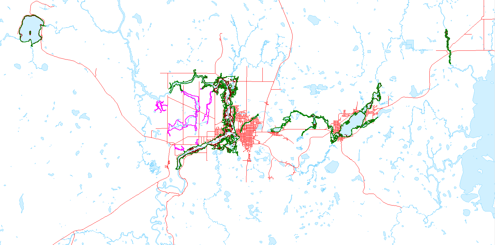
The Mattagami Region Conservation Authority, with funding from and in co-operation with the City of Timmins, has undertaken a program of producing and updating flood hazard mapping throughout the City of Timmins.
We have completed draft flood plain mapping for the following areas which identifies flood prone areas or the 1:100 year flood event and Timmins Storm event, depending on the location.
- Mattagami River
- Kamiskotia Lake
- Town Creek
- Porcupine Lake
- Frederick House Lake Road
- Mountjoy Township (Shirley, Government Road N, Jaguar, Sandy Falls and Mahoney Rd)
- Tisdale Township (north of Hwy 101 E)
- and other previously mapped areas of the City of Timmins.
This flood plain mapping will be used by the City of Timmins and MRCA when updating official plans and zoning schedules, and in reviewing other Planning Act applications. Updated flood plain mapping ensures that the MRCA and the City of Timmins are keeping people and property safe. The updated flood plain mapping will also help to ensure safe development within our watershed. For more information about the mapping updates, please contact our office at 705-360-2660.